Technology and Innovation
We strive to provide high quality, innovative approaches to research, analysis and technical tools in our region, the province, and beyond that provide tangible returns.
We believe that in order to offer a dynamic and unique perspective and product to our clients we continuously have to push current standards of CRM. This includes bringing innovative and creative techniques to our projects.
Over the past decade there has been an increase in the availability of innovative techniques and technologies that can be used in field research.
Noninvasive research methods—including ground-penetrating radar, drone use, photography and videography—are changing the way we approach our work and we are offering new and more complete perspectives to our clients and collaborators.
 Drones
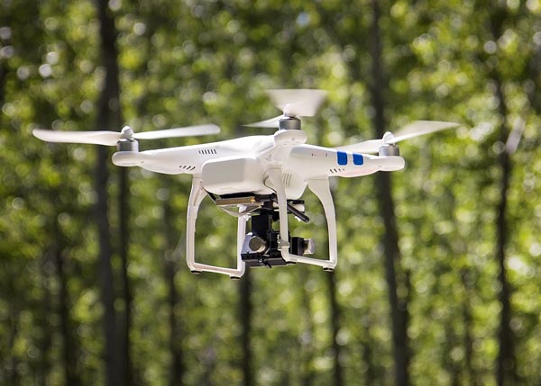
Drones are helping to reveal details that may not be picked up in classic research methodologies. Aerial photographs and videos that drones provide help us understand the landscape that we are working on and the communities we are working with.
From an archaeological and traditional land use perspective, drone use has many benefits, allowing us to see a site from a variety of angles and gathering important data without actually disturbing the site itself. As we do not limit ourselves to doing just archaeology, drone use contributes meaningfully to our other areas of expertise as well. Having the ability to view a community from above allows us to assess current socio-economic situations. For example, having a drone follow a trapline provides more detailed information about traditional land use.
 GPR-Ground Penetrating Radar
Ground Penetrating Radar (GPR) is the general term applied to techniques which employ radio waves to map features buried in the ground. GPR applications are limited only by the imagination and availability of suitable instrumentation. GPR can provide primary data which can identify sensitive areas containing cultural remains without disturbing the ground. GPR provides a non-invasive, non-destructive option for our clients to locate concealed cultural remains, while preserving and protecting them, allowing for the establishment of appropriate protocols to be created based on the nature of the findings.
 GIS and Mapping
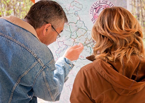
GIS (Geographic Information Systems) is a powerful tool for interpreting and representing the data we collect. The ability to look at data represented on a map or chart can bring concepts and patterns into focus that might otherwise be lost when looking at raw data. From the organization of complex analysis and GIS implementation to the acquisition of survey data and map bases, our team has earned a reputation for being dedicated to our clients and exceeding their expectations.
Crossroads offers a wide range of analytical GIS and mapping services to a variety of clients. Close integration with our field services ensures that our products exceed industry and client standards. Using cutting-edge technologies and mapping tools, our GIS team is able to seamlessly integrate visual assets — such as aerial photographs, maps and renderings — with informational databases and spreadsheets. These layered, multi-dimensional visuals empower our clients to make informed decisions.
 Photography/Videography
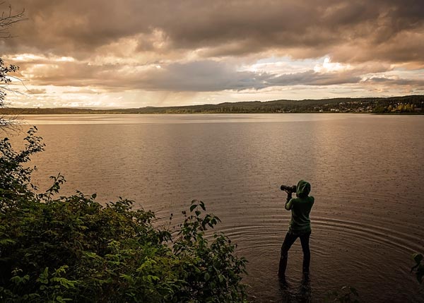
Our projects often include professional photography and videography services to ensure top quality visual documentation of your project.
We use top-quality photo equipment and editing software to provide crisp and clear photos to add to your reports and other final products. In addition, we provide quality portraits of the people involved—especially helpful when documenting traditional knowledge holders and Elders. Samples of our photography can be seen throughout our website.
We are also able to provide quality video-recording to document your project including events, focus groups, field trips, excavations, and community-based interviews. Our video recordings can be edited into short films that capture the highlights of a specific project.
Video data is a durable, malleable, shareable record that can be repeatedly viewed in regular, slow or fast motion, freeze-frame, with or without sound or image. It powerfully illustrates the major themes of ethnographic research, adding further depth to the ethnographic presentation. It allows us to preserve the context of interview settings and adds another layer when recording cultural information from knowledge holders.

